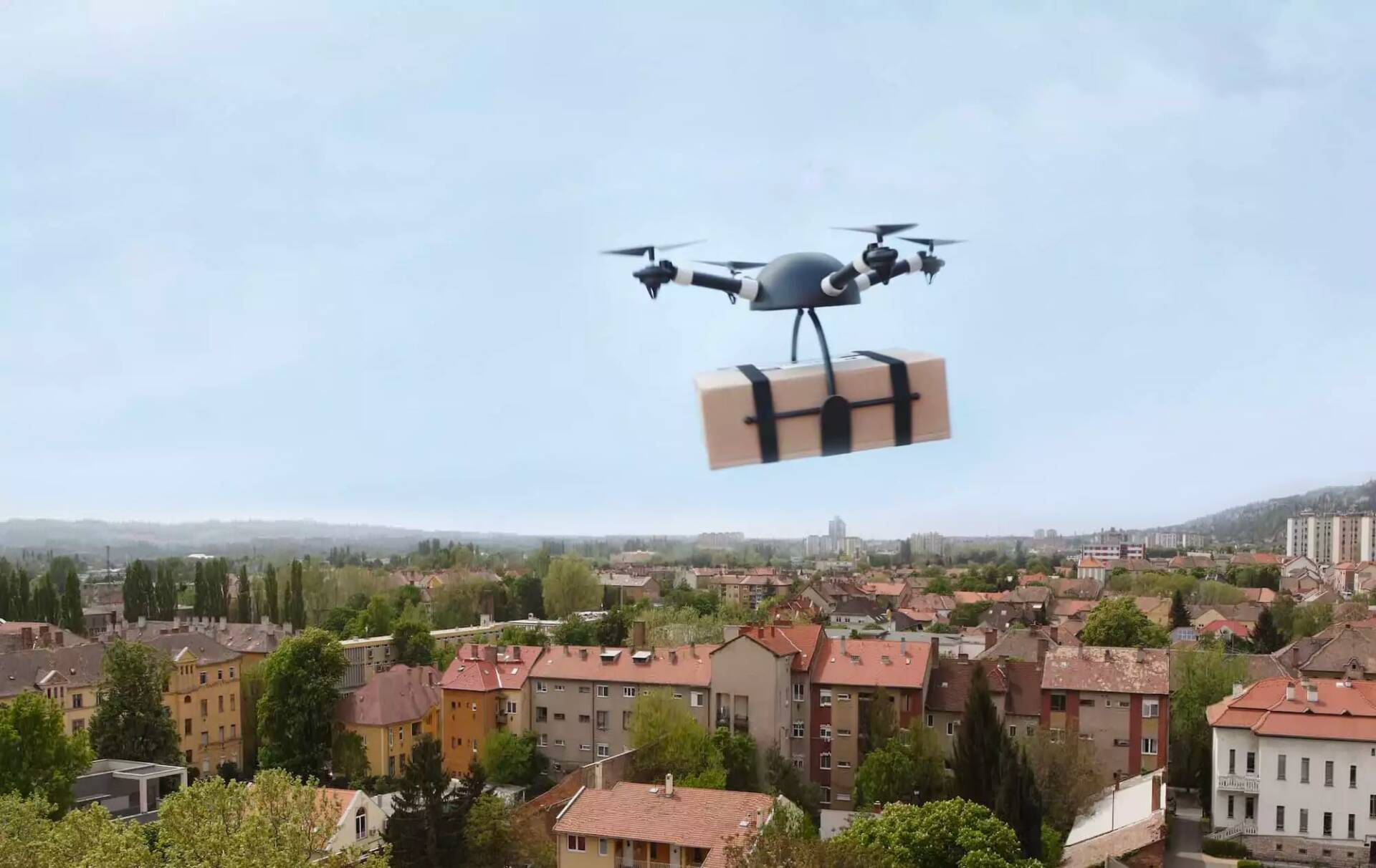
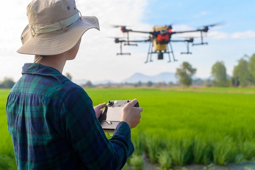
DRONES & ADVANCED AIR MOBILITY
WE’RE YOUR EYE ON THE SKY
Our high-resolution nowcasting technology pinpoints current conditions and closely tracks weather systems day or night so you can safely operate drones and remotely piloted vehicles.
A NEW LEVEL OF WEATHER INTELLIGENCE
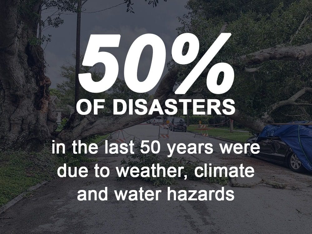
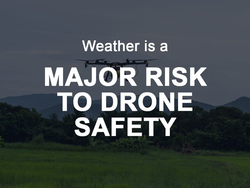
What might be considered benign weather conditions in the traditional aviation industry can wreak havoc when the aircraft is a drone. These versatile aircraft are much more susceptible to moderate winds, light rain and icing. Minor weather events such as these can prevent launch or result in catastrophic failure or a crash.
Drone operators need fast, accurate forecasts to reduce risk. Unpredictable low-level conditions can wreak havoc with delivery schedules and service routes.
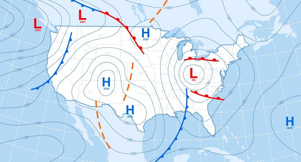
Climavision has revolutionized the industry with proprietary high-resolution radar and space based data combined with other unique observational data sets to feed into newer, faster, and more accurate forecast models at very low altitudes.

SOLUTION: RADAR AS A SERVICE
GO? NO GO? YOU’LL KNOW.
Our proprietary high-resolution radar network identifies microclimate weather systems that impact UAV flight planning and operation. Real-time, low-altitude forecasts give you more certainty and confidence.
Benefits of RaaS
- Precise information on location and timing of storm activity
- Rain rate information for low and mid altitude flights
- Onset of winter weather events for rain-snow-ice transition
- Hazard information for vertiport/heliport operations
- Radar proximity to UAS/AAM test ranges and locations where package delivery missions are being conducted
SOLUTION: GRO FORECASTING
COVERAGE WHERE IT’S NEVER BEEN BEFORE
Our leading-edge technology and forecasting solutions identify weather trends sooner and more precisely. Make smarter decisions with more time to prepare for what was once unpredictable.
Benefits of GRO Forecasting
- High resolution forecasts for extremely short distance flights
- High resolution forecasts for flights at altitudes < 1000 feet AGL
- High resolution forecasts in rural locations
- 60–90-minute nowcasts of wind and rain rate to aid in tactical decisions around flight planning
WE’RE REVOLUTIONIZING THE WEATHER INDUSTRY
Our extensive weather data and revolutionary, proprietary climate technologies identify real-time dangers and produce more accurate predictions and forecasting models.
Learn More About What Makes Us Different
Radar Network
First of its kind, proprietary, high-resolution, low-atmosphere radar network
Advanced Modeling
Advanced numeric weather prediction modelling with unprecedented processing speeds
Satellite Network
High resolution, global observational datasets for advanced weather forecasting
Technical Expertise
Unparalleled technical expertise across infrastructure and weather forecast information
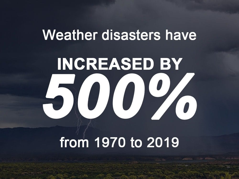
“Given the increased frequency and magnitude, the costs of extreme weather events could nearly double this decade.“
Barclays
Insights
Want to learn More? Read our latest blog posts:
How to Read a Weather Forecast: Key Symbols and Terms Explained
Weather, an omnipresent and constantly evolving force of nature, significantly influences numerous industries and sectors worldwide. From agriculture and energy to transportation and insurance, the impact of weather conditions can either bolster profits or create challenges that demand strategic ada...

Weather Data’s Vital Role in Storm Prediction & Outages
Considering the storm system that swept across the United States during the first week of April we wanted to highlight the importance of storm prediction and outage management. The major spring storm brought heavy snow, rain and high winds to the Northeast on April 4th, downing trees and power lines...

Impacts of Weather on Healthcare Facilities and Hospitals
Weather plays a crucial role in various aspects of our lives, and its impact extends to critical sectors such as the healthcare industry. Healthcare facilities and hospitals are vulnerable to the unpredictable nature of weather events, which can disrupt operations and pose significant challenges. In...