SOLUTIONS
EXTRAORDINARY SOLUTIONS FOR EXTRAORDINARY WEATHER
We deliver unprecedented weather forecasting and radar data every day, so you can plan with greater confidence and certainty. We brought in the brightest minds in the weather industry to create groundbreaking solutions designed with our clients’ needs in mind.
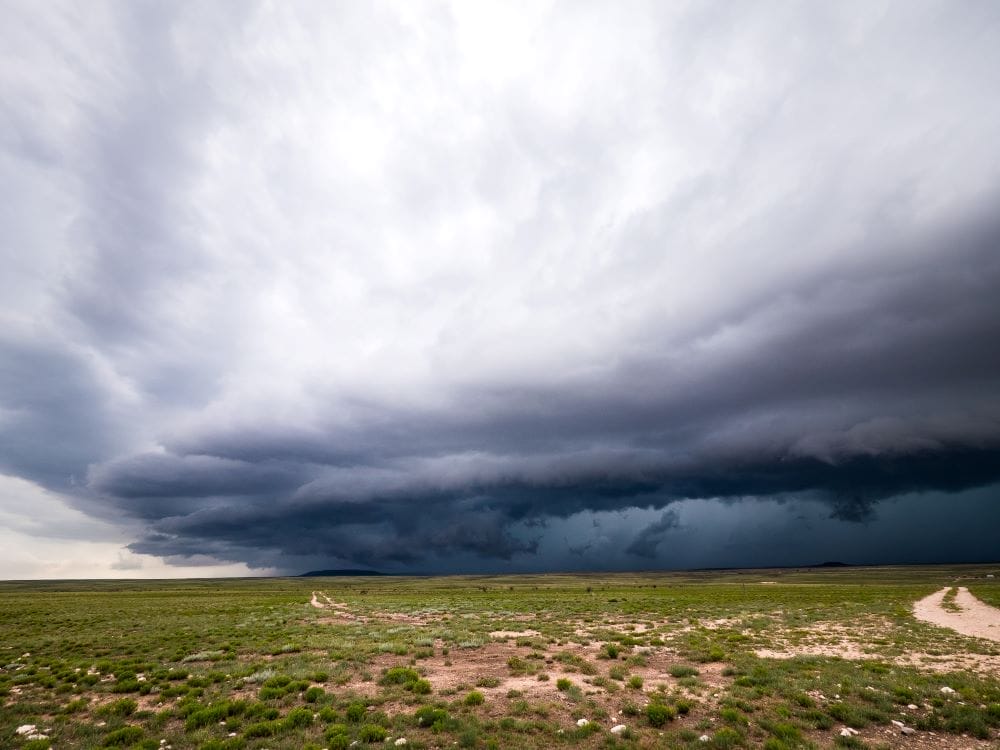
ADAPTING TO THE NEW CLIMATE PARADIGM
Increasingly volatile and extreme weather is expected as our atmosphere continues to change. The number of weather-related disasters has increased by 500% between 1970 and 2019. In fact, in 2021, the U.S. experienced 20 separate billion-dollar weather and climate disasters.
Despite the need now more than ever for clear insight into what’s to come, existing methods for collecting weather data leave an incomplete picture. Like a puzzle missing pieces, today’s weather data has significant gaps geographically and atmospherically. Those gaps lead to severe data assimilation challenges in standard global forecasting systems that limit accuracy.
That’s why Climavision decided a new climate paradigm required a new approach. We decided to start at square one.
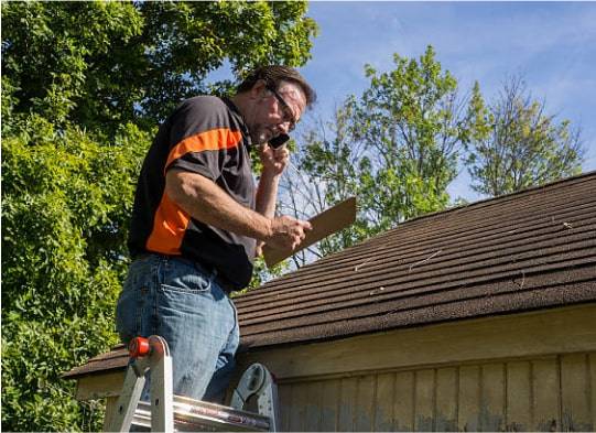
SOLUTION: RADAR AS A SERVICE
REIMAGINE RADAR DATA ACCESS
We fill the holes in existing radar coverage with our comprehensive network of high-resolution radar systems, adding valuable time and accuracy to dangerous, localized systems.
Benefits of Supplemental Radar Network:
- Improve rainfall estimates
- Identify wind rotation and wind shear
- Exact-path tracking of localized weather
- Differentiate types of precipitation
- Identify visibility hazards
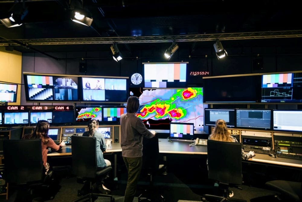
SOLUTION: FORECASTING
COVERAGE WHERE IT’S NEVER BEEN BEFORE
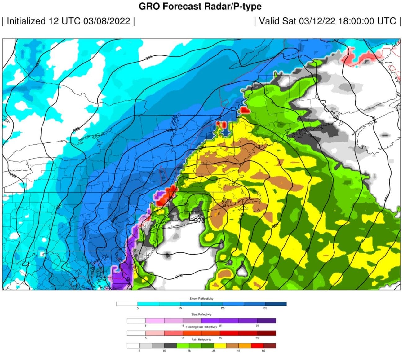
We’re filling critical gaps in global observations – novel spaced-based data and the first-ever proprietary weather radar network in the US. These two sources of data are fueling our revolutionary Numeric Weather Prediction (NWP) to provide you with faster, more accurate forecasts.
Forecasting Products Offered:
- GRO Model – Global GPS-RO Forecasting (0-15 Day Forecast Range)
- ORA Model – Nowcasting (0-72 Hour Forecast Range)
- Point Forecasting System (0-15 Day Forecast Range)
WE’RE REVOLUTIONIZING THE WEATHER INDUSTRY
Our extensive weather data and revolutionary, proprietary climate technologies identify real-time dangers and produce more accurate predictions and forecasting models.
Learn More About What Makes Us Different
Radar Network
First of its kind, proprietary, high-resolution, low-atmosphere radar network
Advanced Modeling
Advanced numeric weather prediction modelling with unprecedented processing speeds
Satellite Network
High resolution, global observational datasets for advanced weather forecasting
Technical Expertise
Unparalleled technical expertise across infrastructure and weather forecast information
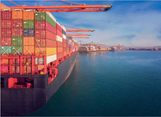
Industries
Seize the CLIMAVISION Advantage
The increasing frequency of catastrophic weather events calls for new solutions to mitigate risk, protect property, and save lives. Our proprietary scanning and forecasting technologies deliver faster, more accurate weather insight, leading to more confident decision making in critical situations.


INSIGHTS
Want to learn more? Read our latest blog posts:
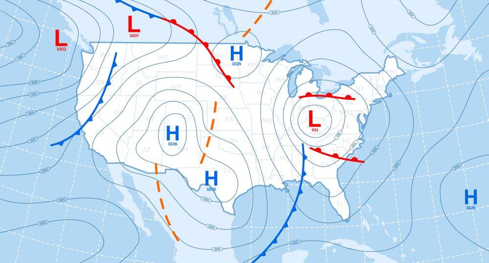
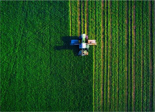
How to Read a Weather Forecast: Key Symbols and Terms Explained
Weather, an omnipresent and constantly evolving force of nature, significantly influences numerous industries and sectors worldwide. From agriculture and energy to transportation and insurance, the impact of weather conditions can either bolster profits or create challenges that demand strategic ada...

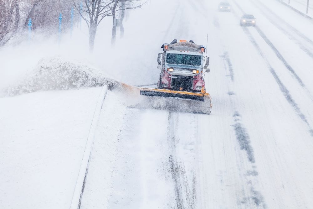
Weather Data’s Vital Role in Storm Prediction & Outages
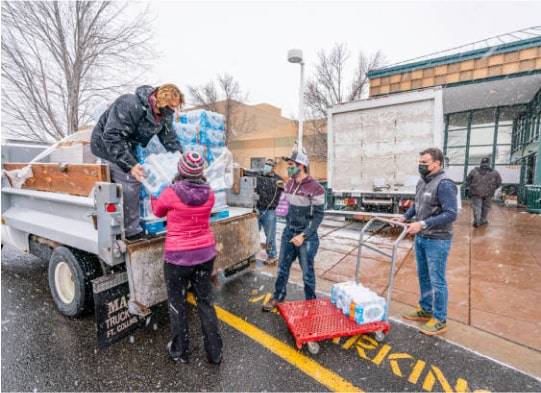
Considering the storm system that swept across the United States during the first week of April we wanted to highlight the importance of storm prediction and outage management. The major spring storm brought heavy snow, rain and high winds to the Northeast on April 4th, downing trees and power lines...

Impacts of Weather on Healthcare Facilities and Hospitals
Weather plays a crucial role in various aspects of our lives, and its impact extends to critical sectors such as the healthcare industry. Healthcare facilities and hospitals are vulnerable to the unpredictable nature of weather events, which can disrupt operations and pose significant challenges. In...