Private Radar Network Expands to 15 States to Fill Critical Weather Gaps Affecting Nearly 40% of Americans
LOUISVILLE, KY (September 18, 2025) – Climavision, the weather technology company whose private radar network and AI-driven forecasting fills visibility gaps for companies and governments, has expanded its radars into fifteen US states. On track to fill nearly 200 weather observation gaps throughout the country, the company’s radars are now providing private and public organizations hyper-local visibility into the below-4,000 feet atmospheric zone where weather can be dynamic and volatile. This zone is where conditions like tornadoes, flash flooding, snow squalls, fog, ice and sleet typically form. Climavision additionally provides insights to NOAA (the National Oceanic and Atmospheric Administration), NWS (The National Weather Service), state agencies like NCDOT and companies, such as CenterPoint Energy, ABC and Gray Media, that operate in weather-sensitive industries.
As weather’s everyday impact on governments’ and companies’ operations comes into sharper focus, private weather technology and data have become critical to filling visibility gaps. NOAA, for example, relies on the extensive NEXRAD (Next Generation Weather Radar) system to power weather forecasts used by the federal government, emergency management agencies and private organizations. But approximately 130 million U.S. citizens live directly in radar gaps–large swathes of land where lower atmospheric regions aren’t measured at all. For communities, these gaps create dangerous blind spots that leave them vulnerable to increasingly intense and more frequent weather events. For private organizations, a lack of visibility into hyper-local weather events directly impacts their ability to accurately anticipate output, demand, risk and operational and communications imperatives.
Climavision, which has worked with NOAA since 2022, supplements NEXRAD by installing its proprietary radars in these gap areas. With 10x the resolution of s-band radars and a 60-mile optimal range, the company’s polarized technology sees weather data in 4D.
Climavision’s radar network currently fills visibility gaps in Arkansas, Alabama, Georgia, Kentucky, Louisiana, Minnesota, Mississippi, Missouri, North Carolina, Oklahoma, Kansas, Pennsylvania, Tennessee, and Texas. It will additionally complete its first of 4 installs in Florida this year.
Climavision’s private radar network supports the following agencies and industries:
- Emergency Management Agencies: Serving as either a primary or supplemental source of weather data, the company’s radars are crucial to states’ emergency efforts, especially in gap areas. These insights inform the deployment of public safety resources, logistical execution, and communications with vulnerable populations.
- Energy and Utility Companies: Hyper-local radar data is used to predict the hardest hit areas in a service region so companies can protect infrastructure, safely dispatch response crews and minimize service disruption to communities.
- Insurance: Companies can reduce unexpected claim spikes by properly assessing real-time and upcoming local risks, as well as . use historical data to confirm claims or damage in areas that did not previously have radar coverage.
- Defense: Precision visibility into low-level flying or launch zones is critical to supporting go/no-go decisions and minimizing lost opportunities.
- Media and Broadcast: Local news stations can access Climavision’s radar data to provide viewers and listeners with minute-by-minute weather reports specific to their neighborhoods and towns.
- Emerging Industries: AI, autonomous cars, smart cities and commercial drones rely on a mix of increased energy usage and acute visibility into hyper-local weather conditions that Climavision’s data provides.
“For too long, millions of Americans have lived in radar blind spots without accurate visibility into severe weather threats forming right above them,” said Chris Goode, Co-Founder and CEO of Climavision. “By building the nation’s first private gap-filling radar network, we’re closing those blind spots, delivering earlier, clearer, and more localized detection than distant federal systems can provide. That means emergency managers, utilities, broadcasters, and entire communities can make faster, more informed decisions when every second counts.”
Climavision owns its radar systems and often partners with local communities to strategically locate and install them. It subsequently operates and maintains them, integrating its supplemental radar observations to complete the weather picture. Its service-based model addresses the challenges of infrastructure ownership that can result from ad hoc gap-filling efforts.
“Minnesota is one of several states that has radar gaps where there is zero visibility into local weather conditions. This has led to the unnecessary loss of life, and urgency is only compounding as extreme weather events become frequent,” said Tina Lindquist, County Coordinator and former Emergency Management Director, Grant County, Minnesota. “NOAA and NEXRAD are essential components of our weather forecasting efforts, but by installing Climavision’s radars in our neighborhoods, we’ve gained never-before-seen insight into local weather events.”
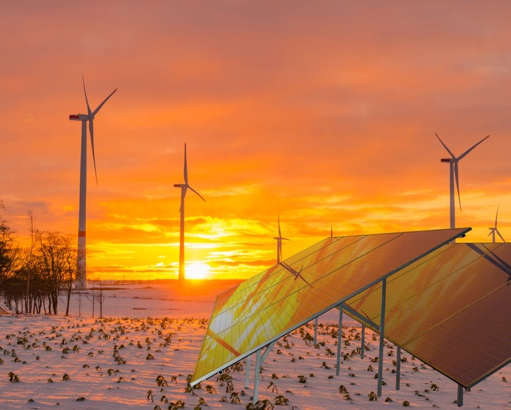
In addition to its growing radar network, Climavision’s suite of forecasts deliver predictive insights on seasonal and real-time shifts in temperature, fog and visibility, precipitation, hurricanes, severe weather and conditions that affect wind, solar and hydropower production. Its radar systems are safe and licensed by the FCC.
About Climavision
Climavision brings together the power of a proprietary, high resolution supplemental weather radar network with its cutting-edge Horizon AI forecasting technology suite to close significant weather observation gaps and drastically improve forecast speed and accuracy. Climavision’s revolutionary approach to climate technology is poised to help reduce the economic risks of volatile weather on companies, governments, and communities alike. Climavision is backed by The Rise Fund, the world’s largest global impact platform committed to achieving measurable, positive social and environmental outcomes alongside competitive financial returns. The company is headquartered in Louisville, KY, with research and development in Raleigh, NC and AI forecasting operations in Ft. Collins, CO. To learn more, visit www.Climavision.com.
Media contact:
Kieran Powell
Climavision
kieran.powell@channelvmedia.com
Related Posts


SHARE THIS POST
