Taming the Flames: The Crucial Role of Accurate Weather Forecasts in Wildfire Management
In the United States it is not uncommon to hear of wildfires, especially those taking place in western states. However, fires are occurring across the entire country with devastating impacts. As our atmosphere continues to change, wildfires are affecting more areas. Businesses and communities need to arm themselves with more data to better prepare and mitigate the potential damage.
The Definition of a Wildfire
A wildfire is an uncontrolled fire that burns in wildland vegetation, often in rural areas. Wildfires can burn in forests, grasslands, savannas, and other ecosystems, and have been doing so for hundreds of millions of years. They are not limited to a particular continent or environment. (education.nationalgeographic.org).
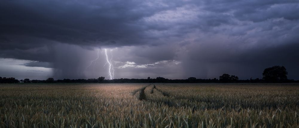
Wildfires can start naturally with something like a lightning strike, and they can also be man-made. The main causes of wildfires by humans are negligence (leaving campfires unattended, debris and cigarette burns, equipment usage and malfunction) and arson. (nps.gov)
However, it is often weather conditions that determine how much a wildfire grows. Wind, high temperatures, and drought can leave land and brush dried out and make conditions optimal to fuel a fire that ignites. Once a fire is burning, drought, heat, and wind can all exacerbate the situation by providing conditions for the fire to spread, increasing its intensity.
Frequency of Wildfires
Since 1983, there has been an average of about 70,000 wildfires annually in the US. (epa.gov)
The area burned by wildfires each year appears to be increasing since the 1980s. According to National Interagency Fire Center data, of the 10 years with the largest acreage burned, all have occurred since 2004. This period coincides with many of the warmest years on record nationwide. (epa.gov)
Source: epa.gov
Land area burned by wildfires varies by state. Unsurprisingly, fires burn more land in the western United States than in the East. Burned acreage in the West has increased in nearly every month of the year. (epa.gov)
The peak of the U.S. wildfire season is occurring earlier. In the years 1984–2001, burned areas peaked in August. In the years 2002-2020, it peaked in July. (epa.gov)
The Impacts of Wildfires
Between 2021-2022, wildfires accounted for over $11.2 billion in damage across the United States. (bankrate.com)
“2020 wildfires in the U.S. caused $16.5 billion in damages, making it the third-costliest year on record; 2017 being the highest at $24 billion and 2018 a close second at $22 billion. These figures do not account for indirect damages, which experts estimate cost around $150 billion for the record-setting 2018 wildfire season,” (yaleclimateconnections.org).
Wildfires can cause financial devastation but, more importantly, they can be very deadly, especially those that grow out of control near communities. One such example is the 2018 Camp Fire in California where a fire destroyed almost the entire town of Paradise. In total, 86 people died.
Additionally, there are indirect impacts of wildfires to be conscious of. Wildfires can expose nearby communities to smoke, which can aggravate chronic respiratory illnesses. The rising heat of wildfires can suspend fine particles and gases from the smoke. In the jet stream, these pollutants can travel thousands of miles from the burn site. A recent example of this capability is the western Canadian wildfires’ smoke which has traveled as far as Alabama, putting 70 million people could be under air quality alerts in the United States. (The Guardian) Wildfires that burn in populated areas can melt plastic water pipes and cause contamination of water systems with carcinogens.
Accurate Weather Data and Forecasts Help Mitigate the Risks of Wildfires
Accurate weather forecasting plays a crucial role in dealing with wildfires by providing valuable information and helping in the effective management of fire incidents. Here are several ways in which accurate weather forecasting aids in wildfire response:
Early warning
Weather forecasts can predict extreme weather conditions conducive to wildfires, such as high temperatures, low humidity, strong winds, or lightning storms. These predictions help authorities issue early warnings to communities at risk, enabling them to take necessary precautions and evacuate if required.
Fire behavior prediction
Weather conditions greatly influence the behavior and spread of wildfires. Accurate weather forecasts help firefighters and incident commanders anticipate how the fire may behave based on factors like wind direction and speed, temperature, and humidity. This information allows them to develop effective strategies, allocate resources, and prioritize areas for containment and control.
Resource allocation
Weather forecasts aid in determining the necessary resources and personnel required to combat wildfires. If a forecast predicts severe fire conditions, authorities can proactively deploy additional firefighting personnel, equipment, aircraft, and other resources to the affected areas, ensuring a timely and adequate response.
Air quality monitoring
Wildfires release significant amounts of smoke and pollutants into the atmosphere, affecting air quality in surrounding regions. Accurate weather forecasts help in predicting the dispersion patterns of smoke and pollutants, allowing authorities to issue health advisories, implement air quality monitoring systems, and take appropriate measures to protect public health.
Tactical decision-making
Real-time and accurate weather updates during wildfire incidents assist firefighters and incident commanders in making critical tactical decisions. For example, wind speed and direction information help determine the safest and most effective approaches for fire suppression, the positioning of firefighting resources, and the establishment of firebreaks.
Evacuation planning
Weather forecasts provide valuable insights into the potential spread and direction of wildfires. This information is crucial for emergency management agencies when developing evacuation plans. By understanding how the fire may progress based on weather conditions, authorities can plan evacuation routes, determine evacuation zones, and ensure the safe movement of affected communities.
Prescribed burns and preventive measures
Weather forecasts are essential in planning prescribed burns and implementing preventive measures to reduce the risk of wildfires. By analyzing weather patterns, fire managers can identify suitable windows of opportunity to conduct controlled burns or implement fuel reduction strategies when weather conditions minimize the risk of fires spreading out of control.
The Dangers of Not Having Accurate Weather Predictions
Simply put, not having accurate weather predictions can be deadly. That was the unfortunate case for the 2016 Gatlinburg Fire.
The day before Thanksgiving in 2016 a fire began in the Great Smokey Mountains National Park. The fire was sparked by humans but was fueled by unusually strong winds and an unseasonably dry summer and fall. The fire was spread after four days of working to contain it due to even stronger winds. Unfortunately, it was reported that forecasts showed no immediate threat to Gatlinburg, TN.
A series of mishaps worsened the situation further highlighting the dangers of wildfires occurring in locations where they are generally considered less likely to happen. Alerts went out on cell phones, but some didn’t receive those alerts due to cell towers being down. The Tennessee Emergency Management Agency didn’t send out a mass evacuation alert due to not having a preset message to describe the situation properly. While Gatlinburg did use a fire alarm system to evacuate, some residents reported never hearing the sirens. (wymt.com)
The Gatlinburg fire is an unfortunate case study for not only the need for accurate weather forecasts for common weather events, but also for ones that may not be so common. The lack of accurate forecasting for weather parameters that increased the intensity of the fire greatly compounded the lack of alerting and response infrastructure and resources. In the end around 17,000 acres burned in the smokey mountains national park and surrounding areas and 14 people lost their lives.
What can organizations do to better prepare for wildfires?
Below are some steps shared by Gallagher Risk Management and Consulting to better prepare businesses for the threat of wildfires:
- Create defensible space by clearing brush away from any buildings or assets.
- Use fire-resistant landscaping and harden buildings with fire-safe construction measures.
- Put together a basic emergency supply kit. Check emergency equipment, such as flashlights and generators.
- Review, revise and distribute your internal communication plan to ensure your employees or volunteers know what to do and where to go for information if a wildfire occurs.
- Ensure up-to-date exterior and Interior asset Inventories are documented and photos and/or video are included.
- Ensure business and community emergency contact listings are up to date.
- Review insurance policies to ensure that you have adequate coverage for your property.
But most importantly, accurate weather data and forecasting is crucial for assessing the risks of potential wildfires. In order to stay aware, plan and then adapt appropriately, business and government leaders need to have reliable data. At Climavision we have developed innovations to provide more accurate weather insights. We have invested in better radar coverage, expanded observational datasets, cutting-edge numerical weather prediction models, and the integration of Artificial Intelligence to improve weather forecasting accuracy. By leveraging this information, authorities and business leaders can mitigate the impact of wildfires, protect lives and property, and improve overall wildfire response and management.


