2025 Severe Weather Season Recap: Climavision’s Radar and HIRES Model Deliver Critical Early Warnings
The 2025 severe weather season brought with it a wave of extreme events—tornado outbreaks, hailstorms, and damaging straight-line winds that tested forecasting systems nationwide. As traditional tools struggled to keep up with fast-evolving storm dynamics, Climavision’s integrated approach provided a clear operational advantage.
By combining our proprietary radar network with the Horizon AI HIRES forecasting model, Climavision delivered earlier, more precise alerts that empowered decision-makers to act faster and with greater confidence. This recap highlights how our technology outperformed legacy systems and showcases the tangible impact of closing long-standing weather observation and forecasting gaps.

In Summary:
- Horizon AI HIRES outperformed government models during major severe weather events like the March 19 Chicago outbreak, offering earlier, more accurate forecasts of tornadoes, wind, and hail.
- HIRES was the first model to predict rain during the Kentucky Derby, delivering consistent 7-day lead time that helped WAVE-TV prepare viewers and plan coverage.
- Climavision’s proprietary radar network detected tornado debris signatures in Missouri, Alabama, and Pennsylvania—where NEXRAD beam heights were too high to see low-level rotation or confirm touch-downs.
- Several tornadoes went unwarned by NEXRAD but were captured by Climavision radar, highlighting the critical role of gap-filling coverage in under-observed regions.
- Industries from broadcasting to utilities can leverage Climavision tools to improve warning lead times, support storm-driven decision-making, and reduce operational risk during a volatile severe weather season.
A High-Stakes Season, A Higher Standard for Forecasting
Severe weather doesn’t wait. From pop-up tornadoes to region-wide storm systems, the 2025 season reinforced just how essential accurate forecasts and real-time radar coverage are to protecting lives and infrastructure. Unfortunately, a large area of the U.S. remains covered by radar blind spots—regions where high beam angles from distant NEXRAD sites leave dangerous storms largely invisible near the ground.
And while many high-resolution models offer guidance for 24 to 72 hours, few can deliver the accuracy needed beyond that window. That’s where Climavision’s forecasting and radar technologies make the difference—offering true forecast confidence across the full time horizon.
High-Resolution Forecasting with Horizon AI HIRES
Chicago Metro Tornadoes | March 19, 2025
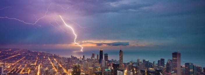
On March 19, a potent cold front triggered a severe weather outbreak across the Chicago metro area. Clusters of thunderstorms produced gustnadoes, large hail, and two confirmed tornadoes—including one EF-1 that caused structural damage.
Horizon AI HIRES provided clear advantages over HRRR, the widely used government model:
- Timing Precision: HIRES correctly pinpointed storm initiation over the metro area between 22–23Z—aligning with observed activity. HRRR failed to resolve the core timing, leaving forecasters with a less accurate picture.
- Tornado Risk Detection: HIRES updraft helicity fields revealed high rotational potential south of Chicago—where damage and tornado confirmations later occurred. HRRR showed some rotation but with weaker intensity and narrower coverage.
- Wind and Hail Forecasts: HIRES identified likely zones of damaging gusts and hail over 1″, matching field reports and public warnings with greater geographic precision.
- Localized Rainfall Patterns: While both models handled general precipitation placement, HIRES provided higher-fidelity details crucial for urban flooding concerns.
For a city as densely populated and vulnerable as Chicago, those forecast refinements translate directly into better emergency planning and public safety messaging. Click here to download the case study
Kentucky Derby Forecast | May 2025
Few events demand precision like the Kentucky Derby—and this year, rain during the big race was a growing concern. On April 26 at 8 PM EDT (00Z April 27), Horizon AI HIRES was the first model to detect a line of storms approaching Louisville—timed nearly to the minute with the scheduled post.
Unlike other models that wavered or showed limited resolution, HIRES offered consistent, confident guidance up to 7 days in advance. This gave WAVE-TV meteorologists the lead time they needed to brief viewers, adjust coverage plans, and help event organizers prepare.
- Forecasts held steady over multiple model runs, maintaining a clear risk signal that others missed.
- On Derby Day, moderate to heavy rainfall verified across eastern Kentucky, with scattered storms near Louisville—just as HIRES projected.
- The model’s early, reliable signal enabled WAVE-TV to deliver trusted, proactive coverage to viewers in one of the year’s most watched events.
Click here to download the case study
Radar That Closes the Gap
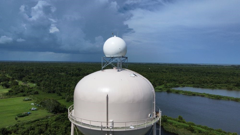
Radar remains the only way to verify what’s happening in the moment—but NEXRAD’s fixed locations and high elevation angles leave millions exposed without adequate low-level coverage. Climavision’s expanding radar network fills these critical visibility gaps, enabling earlier detection of dangerous storms and tornadoes that would otherwise go unseen.
Callaway County, MO | April 20, 2025
A tornado touched down in Callaway County, Missouri, and while both Climavision and NEXRAD radars picked up rotation and a hook echo, only Climavision’s MO69 radar detected a tornado debris signature—at just 715 meters AGL. The nearest NEXRAD site, KLSX, scanned the storm at nearly 1900 meters AGL, too high to capture lofted debris. A warning was issued only after our radar made the confirmation.
Pine Hill, AL | April 6, 2025
A tornado struck less than a mile from our AL1 radar in Pine Hill, Alabama. Despite no warnings issued, Climavision’s radar provided a clear reflectivity notch and confirmed a tornado debris signature shortly after the storm passed the site. NEXRAD radar (KMOB), scanning from 2000m AGL, failed to detect rotation or confirm debris, leaving local emergency managers and residents without any official alert.
Berks County, PA | May 4, 2025
Three separate tornadoes impacted the region—and not one was warned. Each occurred within the radar gap region served by our PA108 system. While NEXRAD sites were scanning at 7,500–7,900 ft, Climavision’s radar scanned much lower—between 1,300 and 2,800 ft—and captured tornado debris signatures for all three. Confirmed damage included destroyed sheds and downed trees, reinforcing just how dangerous these unwarned events were.
Click here to download the radar case studies
Why It Matters: Operational Impact Across Industries
The combination of model-based foresight and real-time radar validation delivers tangible benefits for multiple sectors:
- Broadcast Meteorologists: Advanced warning windows and precision give on-air teams the confidence to lead coverage with authority—boosting credibility and viewer trust.
- Emergency Management: Local governments and first responders gain real-time tools that support faster warnings, evacuation decisions, and resource coordination—especially in radar-limited areas.
- Electric Utilities & Energy Traders: From storm-driven demand surges to infrastructure protection, accurate short-range and real-time insights help optimize load forecasts, minimize grid stress, and support profitable energy trading strategies.
A Season That Proved the Value of Accuracy
Whether it was forecasting rain seven days before the Kentucky Derby or detecting tornadoes no one else saw, Climavision’s radar and HIRES model reshaped what’s possible in severe weather forecasting. This season proved that closing the weather gap isn’t just a technical ambition—it’s a real-world necessity.
Climavision empowers you with the earliest, most accurate insights across the full forecast horizon—backed by a radar network designed to see what others miss.
Want to see how our radar or HIRES model performed near you? Contact us for a personalized case study, demo, or to request radar access in your region.


